
You are here
-33.30544, 26.50989
Craddock bridge
Craddock bridge path
The under-path takes you to Westhill and further along to Kingswood, as well to Craddock Heights
- Easy
- Moderate
- Difficult
This spot
Routes from here
Highlander Trail Run Night Series - Part 16.1 km111 mTrail runModerateHighlander Trail Run Night Series - Part 35.2 km119 mTrail runModerateDSG to Noom Coffeeshop3.9 km138 mHikeEasyHighlander Trail Run Night Series - Part 25.2 km110 mTrail runModerate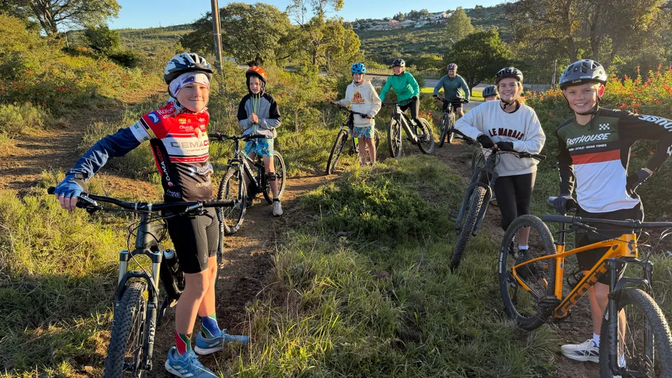 St Andrew's Prep to Rhodes dam via Railway Line and Hill6010.0 km290 mMountain bikeModerate
 SAC Circle to Towers and back29.9 km502 mMountain bikeModerate
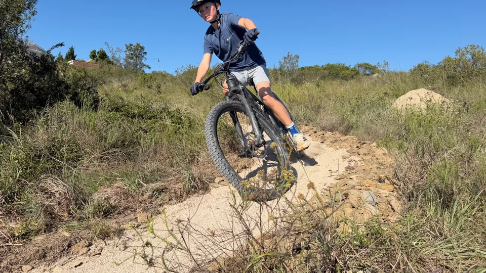 Top of Hill 60 to St Andrew's Prep1.5 km39 mMountain bikeVery Easy
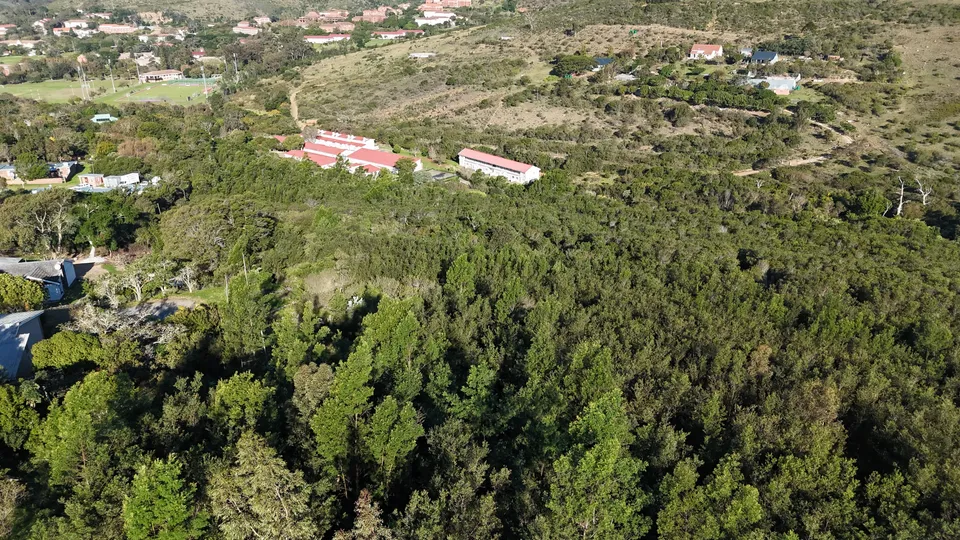 Missing link Craddock Rd/Bond Street/Railway Line/Hill 601.3 km69 mMountain bikeDifficultSAC Circle - Mountain Drive long way around19.0 km379 mMountain bikeDifficult
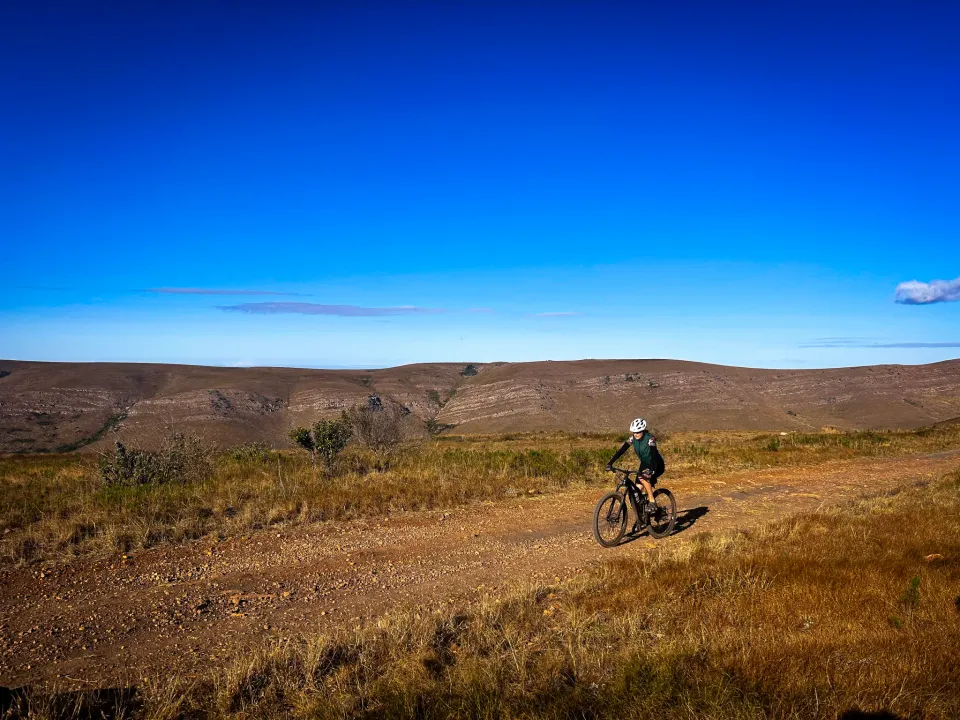 Easy 5km hike from Hill 60 to the SPCA and back5.9 km101 mHikeEasy
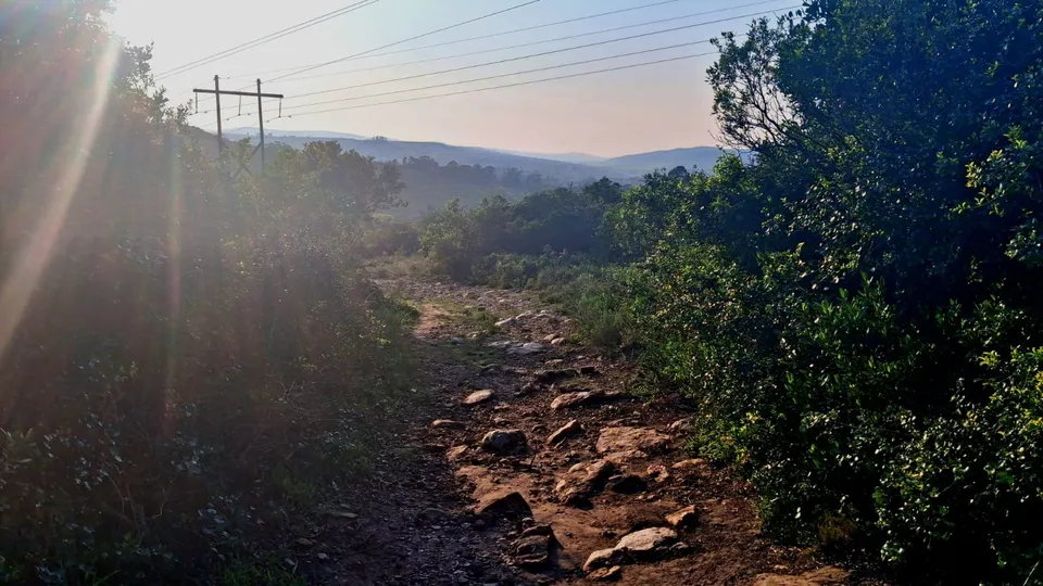 Sunrise Trail Run by Noom6.7 km146 mTrail runModerate
St Andrew's Prep to Rhodes dam via Railway Line and Hill6010.0 km290 mMountain bikeModerateSAC Circle to Towers and back29.9 km502 mMountain bikeModerateTop of Hill 60 to St Andrew's Prep1.5 km39 mMountain bikeVery EasyMissing link Craddock Rd/Bond Street/Railway Line/Hill 601.3 km69 mMountain bikeDifficultSAC Circle - Mountain Drive long way around19.0 km379 mMountain bikeDifficultEasy 5km hike from Hill 60 to the SPCA and back5.9 km101 mHikeEasySunrise Trail Run by Noom6.7 km146 mTrail runModerateTrail segments nearby
- Craddock Rd Bridge Underpass0 m away
- Craddock Rd Bridge - Graham St Entry/Exit and Meeting Point0 m away
- Single trail over Craddock Rd Bridge from Hill 60 to Westhill10 m away
- Constitution Rd - Craddock Bridge40 m away
- Graham St - Bond St high up the bank along the railway line90 m away
Points of interest
- Bridge on Craddock RoadBridge crossing over the old railway line. The pathway below the bridge is now properly fixed and compacted and connects both sides of Westhill. Easily rideable from Graham Street to the Craddock dam20 m away
- Access/Exit Graham StConveniently situated opposite the St Andrew's Prep top field provides ample of parking and easy trail access towards Hill 60, Westhill and the Railway line.90 m away