Explore

Trailheads

Starting areas and access points around Grahamstown

Cradock Heights trailhead

Cradock Heights

89.3 haBoundary area: 3 routesRoutes: 1.22 kmTrail length inside boundary: 100% singletrackMost common trail surface:
Grahamstown Central trailhead

Grahamstown Central

104.8 haBoundary area: 1 routeRoutes: 0.82 kmTrail length inside boundary: 100% tar / roadMost common trail surface:
Hill 60 trailhead

Hill 60

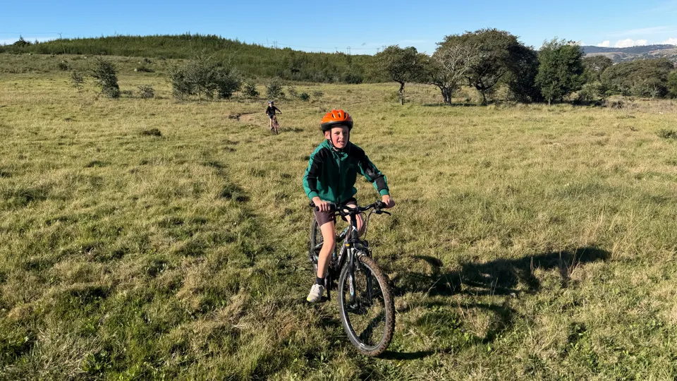
This quiet suburb is close to St Andrew's Prep School and DSG provides easy access to mountain bike and running trails with a few hilly climbs and some beautifully curated flow trails descending down the mountain.

52.5 haBoundary area: 7 routesRoutes: 4.07 kmTrail length inside boundary: 91% singletrackMost common trail surface:
Mountain Drive trailhead

Mountain Drive

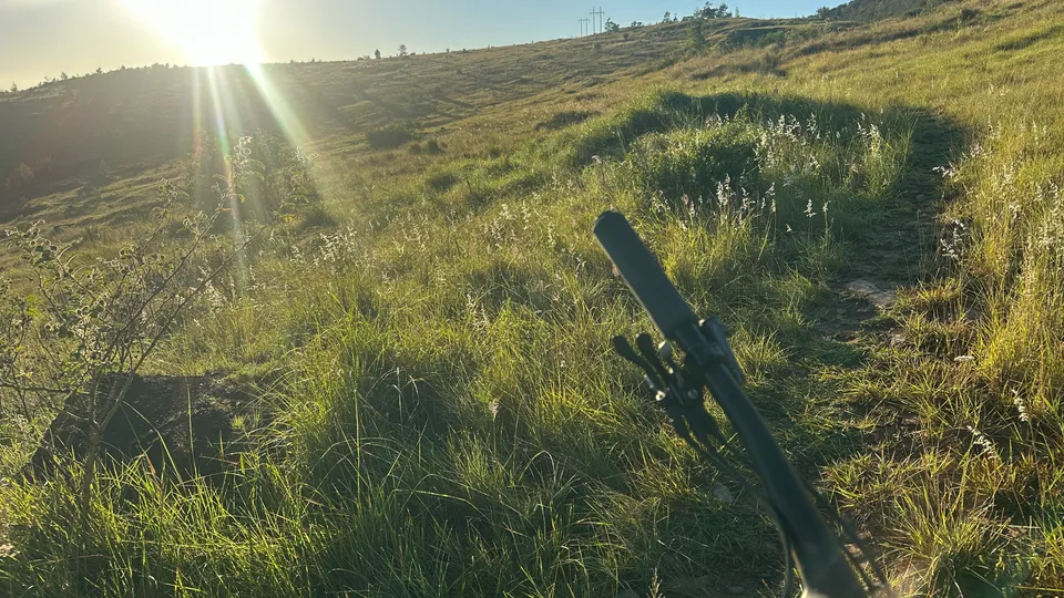
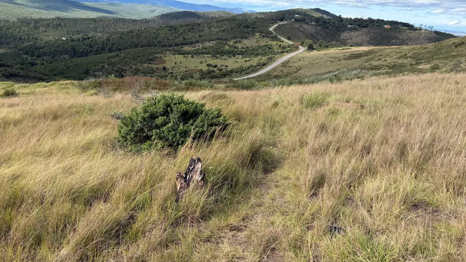
Mountain Drive is one of Makhanda’s most iconic outdoor destinations. Perched high above the town on the Rietberg ridgeline, it offers spectacular views, open grasslands, and access to a diverse network of trails ranging from easy family walks to challenging mountain bike and trail running routes.

716.6 haBoundary area: 2 routesRoutes: 8.50 kmTrail length inside boundary: 100% gravelMost common trail surface:
Railway Line trailhead

Railway Line

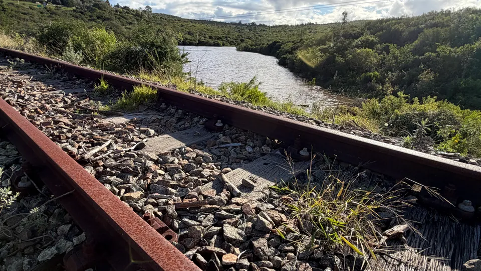
The now-closed railway line is gradually being transformed into a recreational corridor running through the heart of Grahamstown. Connecting suburb to suburb, it will ultimately serve as the backbone of the trails network, giving access throughout the town and surrounding countryside.

17.1 haBoundary area: 7 routesRoutes: 1.95 kmTrail length inside boundary: 92% singletrackMost common trail surface:
Rhodes University trailhead

Rhodes University

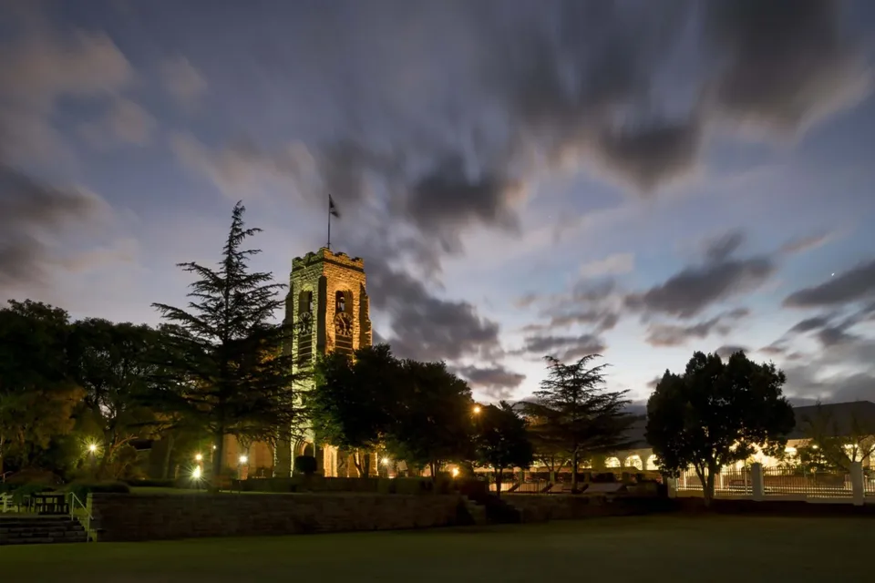
The Rhodes University precinct borders the beautiful Rhodes University Botanical Garden from where walkers, runners, and mountain bikers can connect directly to a growing network of scenic trails that wind through indigenous bush, grassland, and surrounding hills, making outdoor recreation a daily lifestyle rather than a destination.

231.3 haBoundary area: 4 routesRoutes: Trail length inside boundary: Most common trail surface:
Sunny Side trailhead

Sunny Side

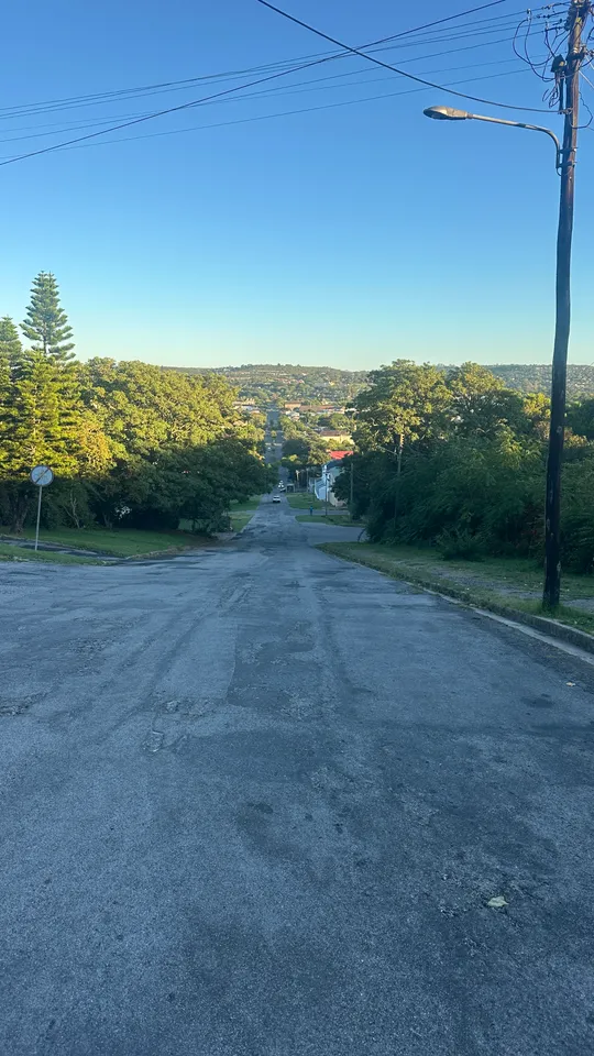
Sunnyside is one of the older and more established residential suburbs of Grahamstown. Located on the eastern side of the city centre, it is known for its tree-lined streets, historic character homes.

123.6 haBoundary area: 1 routeRoutes: 1.89 kmTrail length inside boundary: 77% singletrackMost common trail surface:
Westhill trailhead

Westhill

It is situated on the western side of Makhanda, on the right-hand side of the Cradock Road as you enter the town. The suburb stretches from Milner Street on its eastern border to the Old Quarry in the west.

80.4 haBoundary area: 6 routesRoutes: 0.86 kmTrail length inside boundary: 97% singletrackMost common trail surface: