
You are here
-33.30764, 26.50784
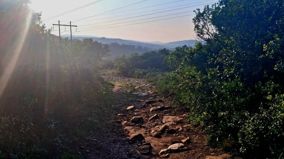
Wilshire Crescent Trail
Wilshire Crescent Trail
Access to Westhill and the railway line. Trail might be slippery after rains.
- Very Easy
- Easy
- Moderate
- Difficult
This spot
Routes from here
Highlander Trail Run Night Series - Part 16.1 km111 mTrail runModerateSAC Circle - Mountain Drive long way around19.0 km379 mMountain bikeDifficultHighlander Trail Run Night Series - Part 35.2 km119 mTrail runModerateHighlander Trail Run Night Series - Part 25.2 km110 mTrail runModerateDSG to Noom Coffeeshop3.9 km138 mHikeEasy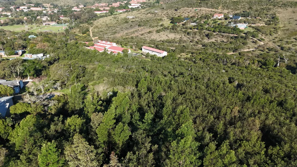 Missing link Craddock Rd/Bond Street/Railway Line/Hill 601.3 km69 mMountain bikeDifficult
 St Andrew's Prep to Rhodes dam via Railway Line and Hill6010.0 km290 mMountain bikeModerate
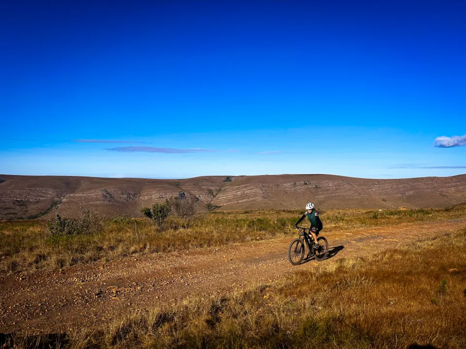 Easy 5km hike from Hill 60 to the SPCA and back5.9 km101 mHikeEasy
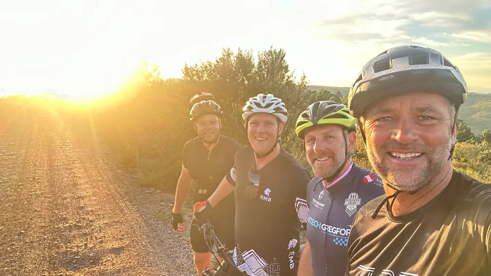 SAC Circle to Towers and back29.9 km502 mMountain bikeModerate
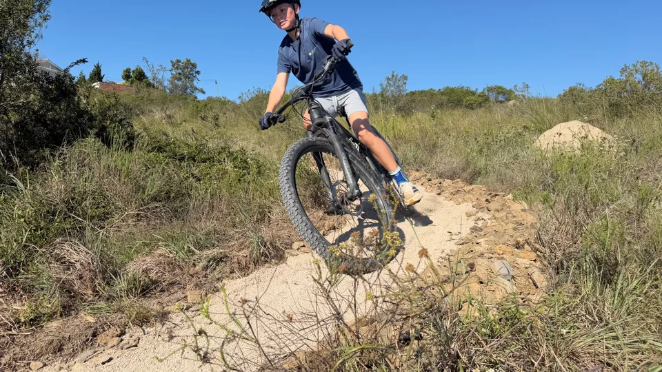 Top of Hill 60 to St Andrew's Prep1.5 km39 mMountain bikeVery Easy
 Sunrise Trail Run by Noom6.7 km146 mTrail runModerate
Missing link Craddock Rd/Bond Street/Railway Line/Hill 601.3 km69 mMountain bikeDifficultSt Andrew's Prep to Rhodes dam via Railway Line and Hill6010.0 km290 mMountain bikeModerateEasy 5km hike from Hill 60 to the SPCA and back5.9 km101 mHikeEasySAC Circle to Towers and back29.9 km502 mMountain bikeModerateTop of Hill 60 to St Andrew's Prep1.5 km39 mMountain bikeVery EasySunrise Trail Run by Noom6.7 km146 mTrail runModerateTrail segments nearby
- Link Bond St to Whilshire Cr0 m away
- Link Wilshire Cr - Jacobus Uys10 m away
- Bond Street trail Bowles-Jacques St60 m away
- Graham St - Bond St high up the bank along the railway line60 m away
- Mullins St in Hill 60140 m away
Points of interest
- Bond Street Railway Crossing50 m away